Description
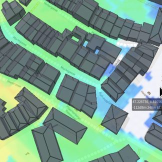
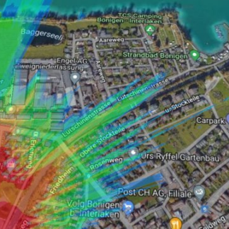
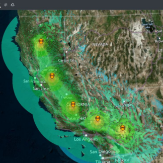
Designed for occasional use by business customers and consultants. This plan offers the full range of interfaces and moderate performance for modest numbers of calculations on smaller networks. With 3D buildings and tree canopy data automatically included, you can conduct detailed urban and rural studies out to a 60 Mile / 100 Km radius.
| Audience | Small businesses, consultants |
| API calls | 1000 |
| Max radius | 100Km |
| Frequencies | 2MHz to 90GHz |
| Support SLA | 48 hours |
| Super layer | 10 sites |