
Radio Planning Today.
Accuracy
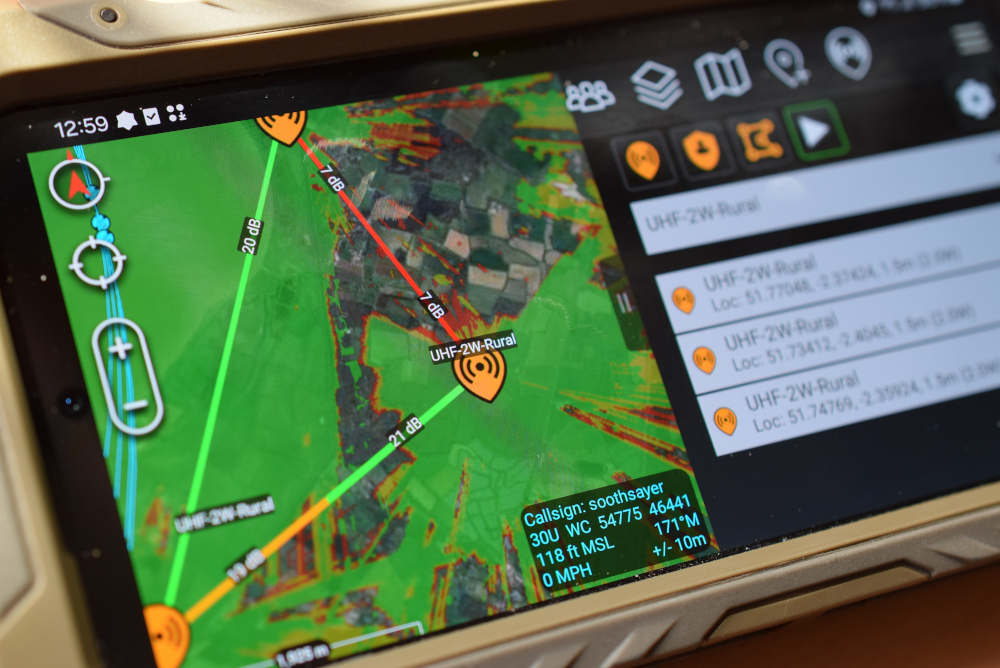
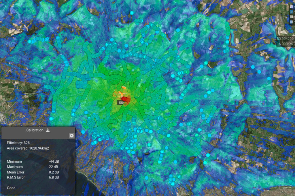
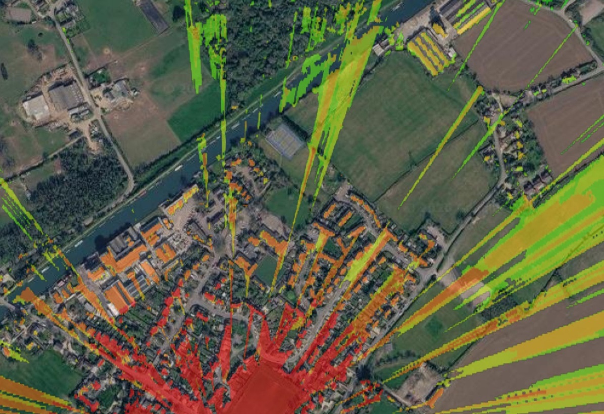
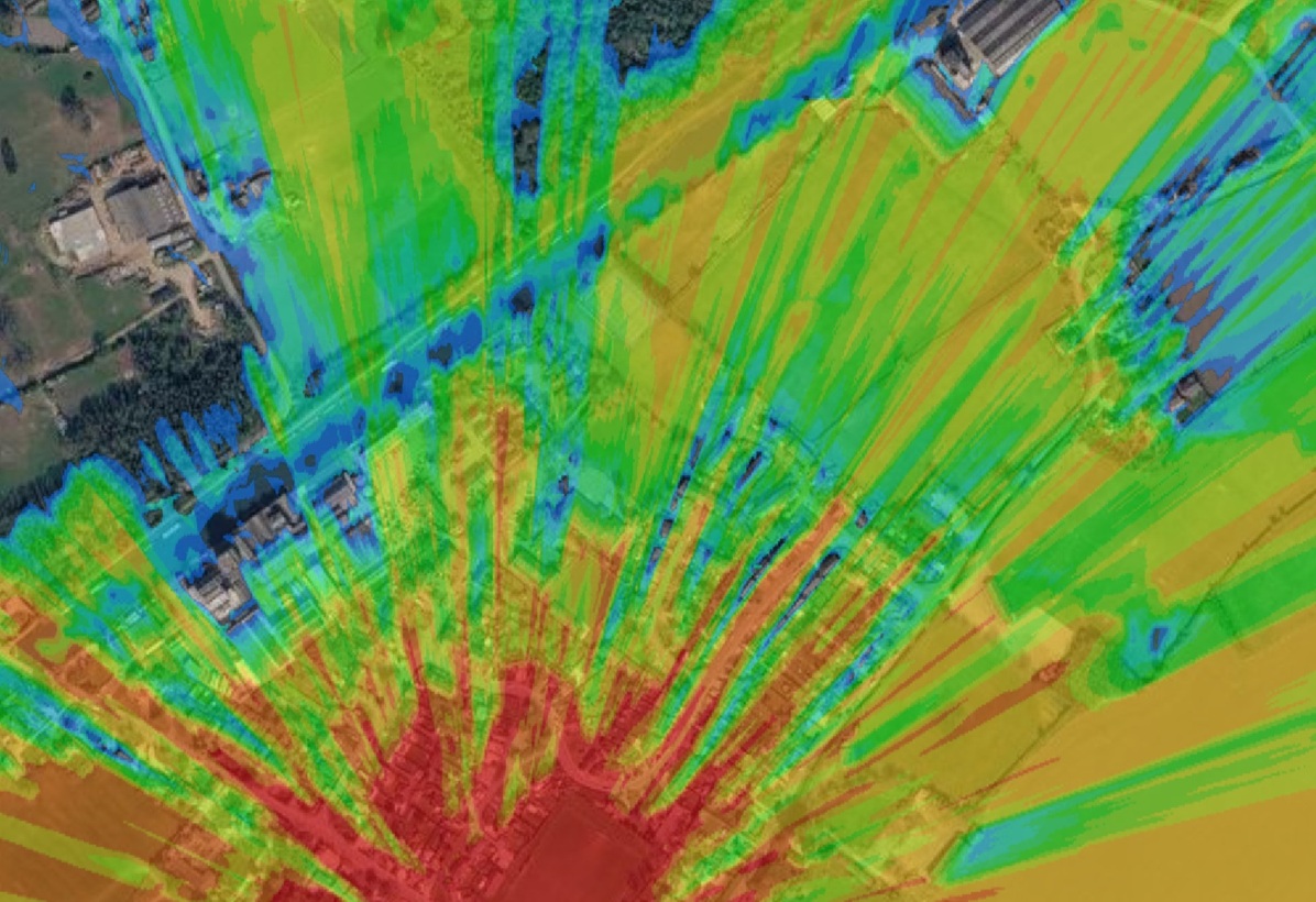
We model RF propagation with accurate terrain and clutter data to provide the full coverage, not just line of sight. Our regular field tests calibrate our API for different radios and environments.
“The agreement between the predictions and on-the-ground measurements is excellent“
BBC Research and Development private 5G paper
“…validated by successful site selection, fewer hops, lower equipment requirements, and no wasted relay-site movements.“
Tough Stump Rodeo 2026 Executive Summary
Speed
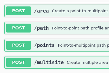
Our mature CPU and GPU engines are over 10x faster than open source alternatives and can model an entire network in one API call.
We include GPU performance in all our plans with a clear price we’re proud to publish.
Availability
Our global high resolution data is ready now. Save yourself hours of mission preparation (or years of development).
This is why we’re used when it matters for disasters, search and rescue and broadcasting events.
Indoor multipath
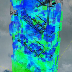
Our 3D API can model reflections inside and outside of models with configurable material properties. It’s a bit more than a floor plan.
- Configurable building materials
- Reflections and scattering options
- Multi-path effects (Fast fading)
- Plugins for third party 3D apps
The wireless coverage API
Since 2012, we’ve perfected our API for RF propagation to save others years of research and development.
See our gallery of live demos for examples of what you can build with published APIs and a prompt for an LLM.
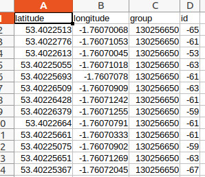
Our API powers smart farms, network maps, drones, balloons, cows, bracelets, scanners, spectrum analysers, aircraft, ships, CRM systems, databases, vehicle tracking APIs, robots and cognitive radios.
Test for free below 10km. Tutorials are on Youtube.
Enterprise server
Want CloudRF on your own private network with your own data? We have an offline server called SOOTHSAYER.
Blog
- SOOTHSAYER-1.12-released
 The second feature release of 2026 majors on testing, security hardening and improvements to the Software Bill of Materials (SBOM). New features include Throughput, a new Satellite Spotbeam API and… Read more: SOOTHSAYER-1.12-released
 - Simulating Throughput
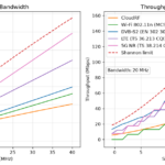 Simulating radio coverage shows where a signal can reach, but to see how fast a data signal could be, we need to measure its throughput. Throughput is a key performance requirement for digital… Read more: Simulating Throughput
 - Autodesk Revit CloudRF plugin
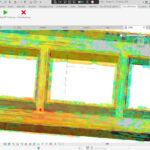 We have developed a plugin for Autodesk Revit to allow Revit customers to perform radio simulation direct from the app. Features More information This plugin is in an alpha stage… Read more: Autodesk Revit CloudRF plugin
 - SignalHound integration field test
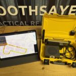 By popular request we integrated the SignalHound BB60D SDR with our simulation API to develop several novel capabilities relating to geo-location and antenna power measurement. This proved two key principles;… Read more: SignalHound integration field test
 - PNUT Interface v1The Project and Network User Tool (PNUT) is the latest CloudRF interface, developed to meet growing demand for full spectrum planning. Background CloudRF’s innovative interfaces have evolved a lot in… Read more: PNUT Interface v1
- 3D Tiles at the edge
 Visualising the physical environment has never been easier, thanks to powerful end-user devices running mapping software with hardware acceleration. The latest step in the evolution of mapping is the shift… Read more: 3D Tiles at the edge