
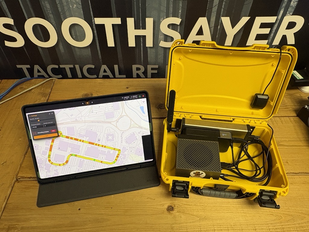
By popular request we integrated the SignalHound BB60D SDR with our simulation API to develop several novel capabilities relating to geo-location and antenna power measurement.
This proved two key principles; Grid-search is a viable geo-location technique if a simulation API can scale to it in a practical time and publishing APIs enables easy future integrations.
Integration features
- Battery powered Jetson server running SOOTHSAYER
- Python script with SignalHound library which logs signal power measurements
- Offline web interface to display live survey data and control analysis
- Analysis tools to perform a grid-search of a user defined polygon
- Rapid simulation of hundreds of survey points against grid squares
- Configurable grid resolution
Test results
- A VHF tower on a distant hill was successfully geo-located using drive survey data from 2km away
- A short 1.5km circular route was selected around some large buildings
- The route only covered 10 degrees of deviation from the target
- The buildings provided evidence of the tower’s direction
- The statistical analysis revealed the tower’s likely grid square
- The high resolution simulation of many grid-squares took less than 5 seconds
A video of the field test is on youtube.
Source code
We have open sourced the capability within our Brutal Sauron demo here.
https://github.com/Cloud-RF/BRUTAL-SAURON/tree/main/signalhound