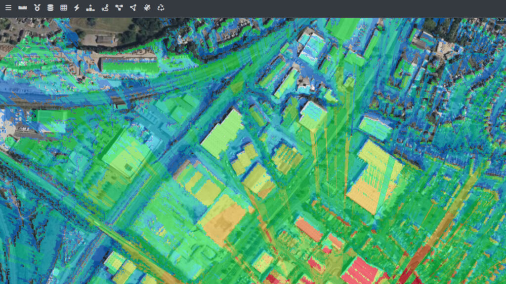
Plan Coverage
Model radio coverage over real terrain, clutter and climate data, and see the results rendered directly on the map.
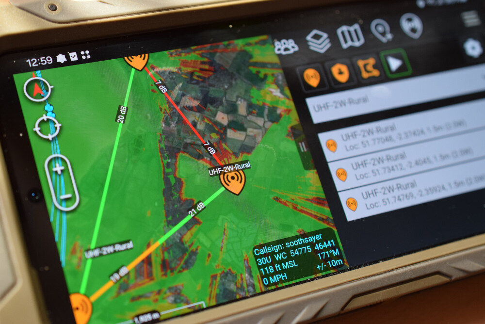
Built for the Field
The same planning engine that powers PNUT also drives field tools like the ATAK plugin, keeping planners and operators on one dataset.
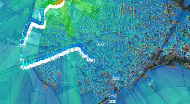
Validated Against Reality
Predictions are calibrated and checked against drive-test measurements, not left as untested theory.