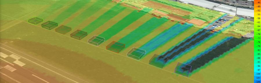
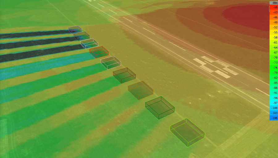
Clutter describes obstacles which will impede a signal’s path. For RF planning purposes this can be trees and buildings. As trees and buildings vary greatly in density we need different types.
Cloud-RF has 9 clutter bands to improve the accuracy of your planning with attenuation levels aligned with ITU-R P.833-7 for vegetation losses.
| Type | Name | Nominal attenuation dB/m |
| 1 | Trees – | 0.25 |
| 2 | Trees + | 0.5 |
| 3 | Timber – | 1.0 |
| 4 | Timber + | 1.5 |
| 5 | Brick – | 1.5 |
| 6 | Brick + | 2.0 |
| 7 | Concrete – | 3.0 |
| 8 | Concrete + | 4.0 |
| 9 | Metal | 6.0 |
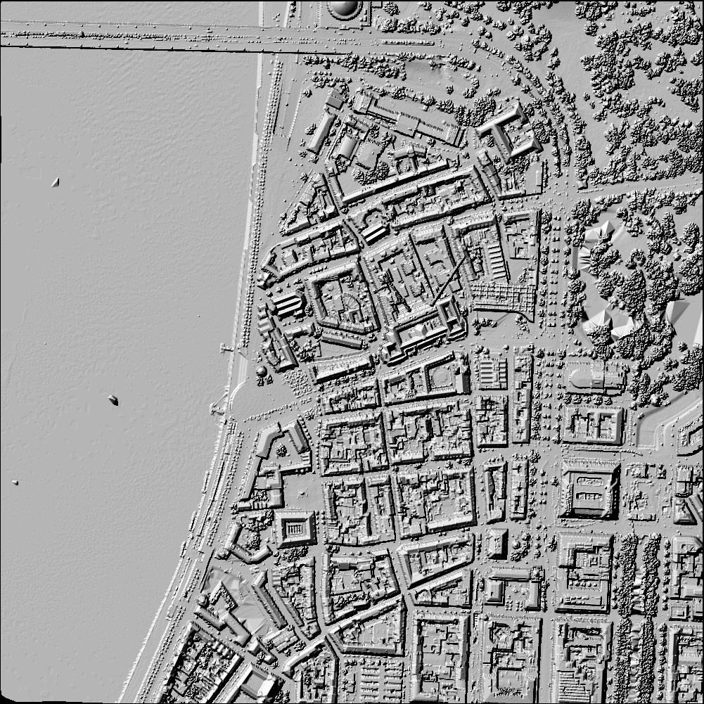
LiDAR
LiDAR data is the highest accuracy data available and is available for many cities at 2m resolution. Check the coverage map to see if you are covered. It’s a surface raster so is not permeable like the custom clutter but is very useful for line of sight analysis as even trees and bushes are represented.