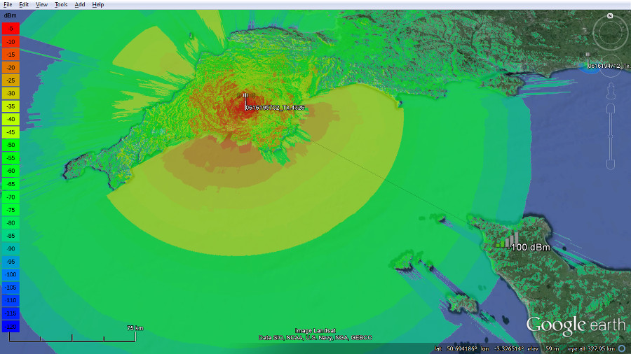
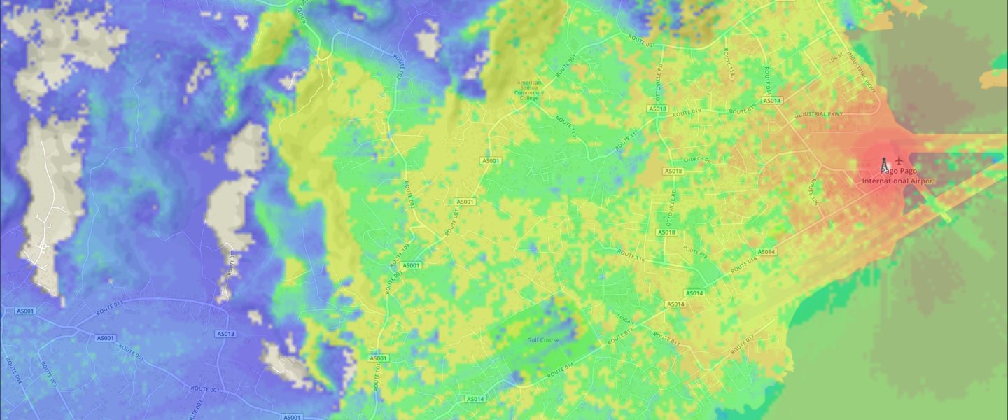
This service uses a variety of digital terrain models (DTM) and digital surface models (DSM) to provide global coverage up to 60N and accuracy of up to 1 metre.
If you want to add your own LIDAR see here.
|  |
| Source
| Description
| |
|---|---|---|
SRTM2 90m | Global coverage up to 60N is provided by Shuttle Radar Topography Mission, version 2, data from NASA. It was created in 2000 and has a resolution of 90m.
| 
|
SRTM2 30m | For the USA a higher resolution version of SRTM2 is available. It was created in 2000 and has a resolution of 30m.
| 
|
AW3D 30m | Global coverage up to 60N is provided by ALOS global digital surface model © JAXA. It was created in 2014 and has a resolution of 30m. http://www.eorc.jaxa.jp/ALOS/en/aw3d30/index.htm
| 
|
Viewfinder Panoramas | High altitude regions such as Greenland, Northern Norway and the Svalbard islands have been created at 90m resolution from mapping by Jonathan de Ferranti
| http://viewfinderpanoramas.org/
|
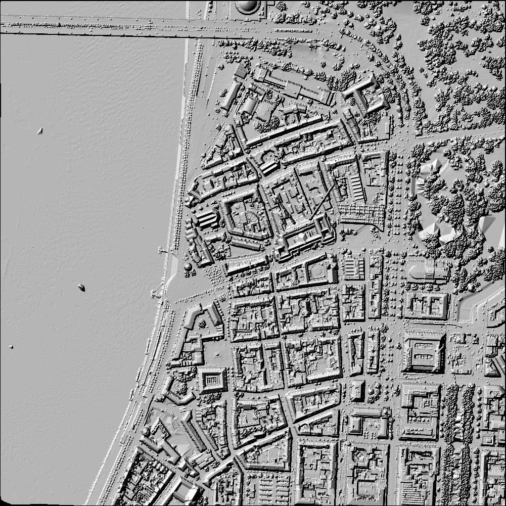
LIDAR | High resolution tiles mapped by plane and drone have resolutions ranging from 1-8m and are added for select areas. Currently UK, New York, Los Angeles, San Francisco, San Diego
| 
|
NZ 8m DTM | Sourced from LINZ. CC-BY 3.0.
| http://www.linz.govt.nz/data/licensing-and-using-data/attributing-elevation-or-aerial-imagery-data |
