Included with all plans
- Global terrain data (DTM and DSM), 10m global landcover with clutter profiles, global 2m buildings
- LiDAR for select countries and cities
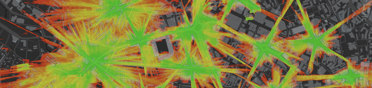
- 3D web map with global mapping, satellite imagery and geocoding
- Google Earth interface
- Export data as KMZ / KML / GeoTIFF / SHP / URL / HTML
- Access to over 26,000 antenna patterns
- Custom clutter tools to draw your own obstacles
- Developer’s API
Enterprise solutions
We offer dedicated hosted and private on-premises solutions also. Our SOOTHSAYERTM server has no API limits and lets you manage your own users and reference data like LiDAR. The capabilities are limited by your hardware.
Contact support@cloudrf.com from a work email for an evaluation VM or a quote.
On demand subscription
If you just want to use the service for a month, you can pause your subscription and then reactivate it in the future.
Billing FAQs
Will my card be charged every month?
A subscription will charge your card every month. A Pay-as-you-go plan for a month or a year will not so we offer both options.
If you do not want your card to be charged every month, you should order a single month or a year only.
I just need 1 month only for a project
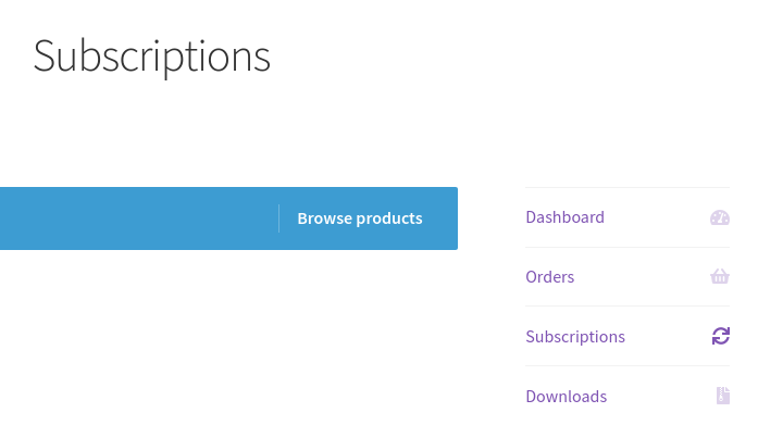
If you just want to use the service for a month, you can order a single month only or alternatively, you can pause an active subscription from the “Subscriptions” section in your account and then reactivate it in the future.
What payments do you accept?
We accept major credit cards, paypal and direct bank transfers. Company purchase orders will be accepted for orders greater than £350.
Will I pay tax and get a VAT invoice?
Tax rates are determined by your billing address which is what will go on your invoice. You can add your VAT number at the checkout and our VAT number is 391302319
How do I buy access for 3 months or a year?
Pick your plan and change the quantity to ‘3’. For a subscription, you are free to cancel it or pause it. It’s that simple.
If I stop a subscription, will my data be available in 4 years time?
Sorry no. We will delete old data as per our data retention policy. The time is measured from the last purchase and for most plans is 2 years. If you need your files to be available in many years to come, download them from your archive or place an order at least once a year.
We’re a charity / NGO, can you help?
Contact us from a charity email and we’ll be happy to support a good cause.
Data FAQs
Where is the LiDAR coverage?
We’ve added LiDAR for several countries (England, Wales, Estonia) and lots of cities (NYC,LA,SF,Berlin,Sydney,Christchurch,Mogadishu, Tashkent, Bhutan..). Check coverage on the map here. If you want LiDAR adding please complete this form. Depending on the license, a charge may apply.
You don’t need LiDAR however to do high resolution urban planning as we have a hybrid solution using 3D buildings.
What 3D building data do you have?
We have global coverage to 2m accuracy except for pariah states and others which can be added by request.
What security and data protection measures do you have?
Your data is stored on dedicated servers in secure data centers in the UK and EU. The service does not associate personally identifiable information at the shop with your API data / calculations by design. The hardened servers are protected with firewalls and intrusion detection systems and are monitored continuously with automated alerting.
A minimal number of experienced staff will have access to your data excluding contractors and third parties.
Payment information is managed by Stripe. We do not hold any card details beyond a random token.
We do not use, or trust, third party mailing list or marketing software.
Please contact support@cloudrf.com for further information.
Disclaimer
- Global terrain data is guaranteed up to 60 degrees north with additional data for Alaska, Iceland, Norway and Svalbard islands at 80N.
- LiDAR data is limited to select cities and countries. You are advised to check the map or contact support
- 3D building coverage is on a country basis. Some countries have not been added so please check the map
