Settings
The Map Settings tool controls how the globe is drawn beneath your radios and coverage: the underlying imagery, the 3D scene, and the RF noise floor overlay. Open it from the map settings button on the toolbar. Changes apply to the map immediately and are remembered across sessions.
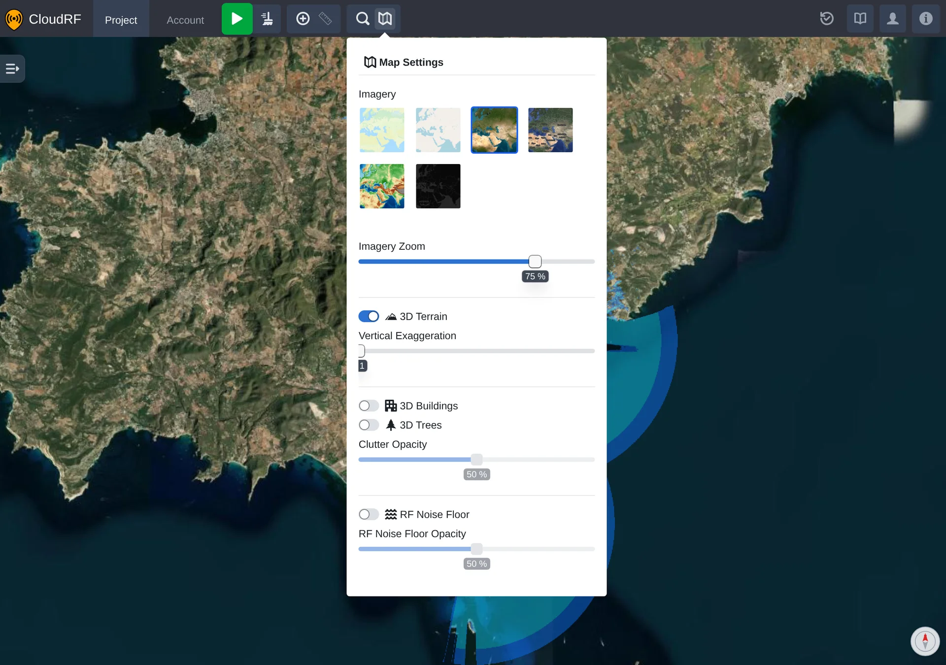
Imagery
| Setting | Description |
|---|---|
| Imagery | The basemap drawn beneath radios and coverage. Choose from OSM Contours, Streets (OSM), Satellite (Esri), Satellite (Google), Terrain and Dark. |
| Imagery Zoom | How much basemap detail is loaded, from 1% to 100%. Lower values load faster; higher values sharpen the imagery. |
3D Scene
The globe can render terrain and clutter in 3D so obstructions between sites are visible in the view.
| Setting | Description |
|---|---|
| 3D Terrain | Renders elevation as 3D relief rather than a flat surface. |
| Vertical Exaggeration | Scales terrain height from x1 to x3 to make subtle relief easier to read. Available while 3D Terrain is on. |
| 3D Buildings | Renders building clutter on the globe. |
| 3D Trees | Renders tree clutter on the globe. |
| Clutter Opacity | Opacity of the building and tree clutter, from 0% to 100%. Available while 3D Buildings or 3D Trees is on. |
RF Noise Floor
| Setting | Description |
|---|---|
| RF Noise Floor | Overlays the modelled RF noise floor on the map. |
| RF Noise Floor Opacity | Opacity of the noise floor overlay, from 0% to 100%. Available while RF Noise Floor is on. |
The overlay is drawn for the selected radio, and only reflects real data when that radio is set to take its noise floor from the database. Click the database button beside the radio's Noise floor setting (see Radios); with a fixed noise floor value instead, the radio has no database noise for the overlay to show.